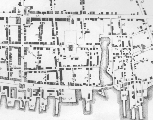
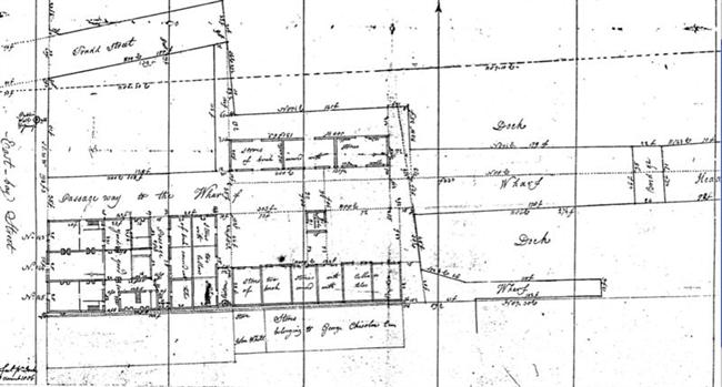
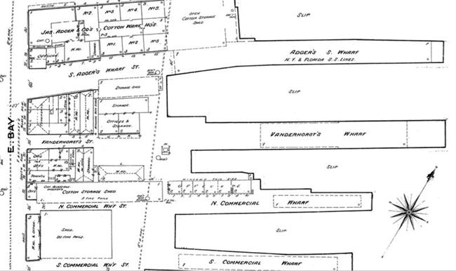
1804 (September 7-8) CycloneThe September, 1804, cyclone reached Charleston with gale-force winds on Friday evening, September 7. The weather eased slightly on Saturday morning, then strong gusts began again. Hurricane winds attained their maximum force at about noon, coinciding with high tide. As the water rose in the streets of the lower peninsula, residents braved blowing limbs and roofing material, and fled to higher ground. The wind roared relentlessly until late Saturday evening, September 8. and even as the storm moved up the coast, gales "blew with great violence until one o'clock on Sunday, accompanied at intervals with heavy showers of rain." Hours of heavy weather made a shambles of Charleston's physical landscape, public and private. Huge trees were jerked out of the sodden ground, buildings were unroofed, ships tossed to splinters, and public works undone. "New East Bay Street," which had been repaired after a storm in October 1800, was destroyed once more, and the "new drain recently built from Church Street to the Bay," ruined. All the wharves fronting on the Cooper River - twenty or more properties detailed in the Charleston Times of September 10 - were affected. General Vanderhorst's wharf sustained comparatively little damage, but the Rhode Island brig Favourite, a slaving vessel tied up there, was "gone to pieces." Another Africa ship, the Christopher, sank at the head of Gayer's wharf, after the "negroes [were] taken out with much difficulty." Prioleau's wharves at the foot of Queen Street were wrecked. The raised foundation of the adjacent Fish Market had broken, and the east end of the handsome public building collapsed. Further north, a row of frame buildings on the Washington Race Course, used as "public houses" during Race Week, were leveled. The ferry to Mt. Pleasant was inoperable, the road to Georgetown impassible, and, south of the city, all the bridges between Charleston and Jacksonboro were washed out. Charleston newspapers published as usual after the storm. However, with damaged ships unable to leave the harbor for several days, it took nearly two weeks for copies to reach Northern presses. "Terrible Storm." Charleston Times, September 10, 1804, and New York Commercial Advertiser, Daily Advertiser, and Morning Chronicle, September 24, 1804.
|